
In the quest for state high points and available time for getting up to the PNW we spent two nights at Guadalupe National Park. The Guadalupe Mountains are a North/South running chain in the West of Texas and South East of New Mexico. This area is also close to Carlsbad Caverns which if you have the time is worth a stop over as well. This mountain range at one point was a reef bed and many of the fossils date back to some 40M years ago during the Permian Age1.
Where to stay in the park:
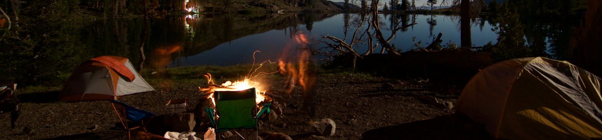
There are two main campgrounds, plus a horse corral. The Pine Springs Campground is at the base of the hike for Guadalupe peak which was my goal on this outing. The Pine Springs CG uses part of the parking lot for 13 “RV” sites, and there is a separate loop in the same area for tent campers to make for an easy leisurely start to get up Texas’ state high point. This area is really close to the Central/Mountain Time Zone line, so at times your phone will present with one or the other. Hopefully while you are there time is not that important because it’s hard to know what time it really is :D. My Garmin once I started my GPS track was using MST even though my phone was still showing CST.
The Hike:

The steepest part of this trail, and the part that is going to make or break you is the first two miles. Lots of steps made by people with long legs and a short torso, so for those of us who are say…average height (or shorter) and are a 50/50 torso/leg split do have a bit of extra work. The other option is follow the others up the side of the rock steps creating new erosion channels (see principle 2 of LNT for why you should not do this). I wanted an early start because as usual the goal was Summits on the Air, and hopefully some EU/UK DX. I was moving pretty early on and greeted by the park volunteers at the bottom of the trail with the usual questions of “enough snacks, enough water, layers?” etc. Today’s weather was calling for high winds and temps in the 40-50s, towards the top there was also some snow, ice and mud on the trail. Also this is a pretty arid area so a good amount of water even on a day like today is necessary. An interesting combination of conditions to really have to prepare for.
Up I went making a good pace ahead of my hiking partner as I knew I would be hanging out on top, and wanted some time to setup. Normally I would not say separate from your group, but this was a pretty straight forward trail with out any real turn offs to end up in the wrong area. I made pretty good time overall for maintaining a consistent pace; the ascent is a tad more than four miles with an elevation gain of about 2900 feet. The Munter method would put this at a 3:45 minute hike, I knocked it out in 2:16. All that walking (and swings and squats) pay off :D. As far as the ascent went and I had an idea that because the trail is on the canyon side of the hills that we were getting a funnel effect. At about 1.5 miles the trail hooks hard left at a rock out cropping and this was the worst bit of the winds this day, but after about 200 yards you end up in a tunnel of Pine trees that cut the wind down for the next bit. I will note that this trail has a bunch fo exposure, which made for a fun descent (more on that later). The last mile was where the snow, mud and some ice was. I was quite surprised to see ice given the semi arid location, but some winter/wet weather had ripped through a few days before. So, be aware that winter weather is a possibility.
Setup the radio gear in a way to not be too wind effected and the wife was not far behind. She too beat the Munter Method timing by a good hour! For the SOTA stuff, I spent 2 hours activating across 5 bands all cw and managed 58 contacts. Most of the DX came on 21mhz and 28mhz was great for the whole US. DX included France, England, Spain and Switzerland.


The Descent:
One of the rules I hike/peak bag by is “anything you go up you have to come down” and that has served me well, as noted in the Big Bend post I almost broke that rule but today is not about me and my descent. I’d been aware of this one particular group on my ascent and while I was hanging out. As I was about 200 yards down I found a party who had one individual near tears and almost frozen in their tracks. This group had left about 30 minutes before me from the summit and this was as far as they got. I called out a bit ago that there was a fair bit of exposure to this walk, you are above treeline, while the summit area is pretty big the trail is exposed with long steep drop offs on the sides and this individual had reached their breaking point. They were not having it. I decided it was time to engage and pull out all those skills I’ve picked up over the years to walk the group down and overall it was a great experience. The single most important thing you can do if you do engage to help someone is listen to what they are saying.. Not just hear, but LISTEN. I had noticed that this person kept asking us to walk down in front on the harder step down. Basically they were learning what we were doing with our feet, so I made sure to wait every time we came to one of those dicey sections. Now keep in mind, I love it when a hike takes me into evening and I can catch a sunset, and I had an idea that this would happen. At one point because the cellular service is pretty dodgy I ended up having the wife monitor Simplex on the radio just in case we needed other assistance up there. Note yes there is some cellular service but it is dodgy at best, and there are parts of the trail where you go 30 minutes with no service (including no SOS), so plan accordingly. It took us about 4 hours to get down, but we all managed to get down safely. Hopefully this individual was not too turned off by the experience and their group of four does continue venturing out into the hills. I really had an enjoyable time talking and walking with the three who remained with me on the descent.
Key Takeaways/epilogue:
This was a great area to stop and play, and I recommend it if you are in this area, that said book early. We did end up having to move from one campsite to another in order to stay for two days. From a hiking preparedness perspective, this is a reminder too/from me to always turn around on your way up to make sure that when you look down you do not freak out. Of the people I have helped over the years both in the name of SAR and as a good samaritan, the mental hurdle is one of the hardest things to overcome when you are in that exposed out situation. We can always warm up, consume calories etc, but when we are freaking out/disregulated getting re-regulated can be the biggest hurdle to getting back on the move. Not a lot planned for March other then work our way up to the PNW and then back down to SoCal , but that said April and May will be another springtime adventure off in the UK.


