(From April) Time for my spring trip to TN to visit the homestead, and I wanted to pick up some W4G action since I just finished mapping the SOTA peaks on the AT. I will post that as a separate blog, as that was a very interesting planning effort, and maybe in a couple of years I’ll take the 4 months it will take to do the AT+SOTA as a single thru hike mission.
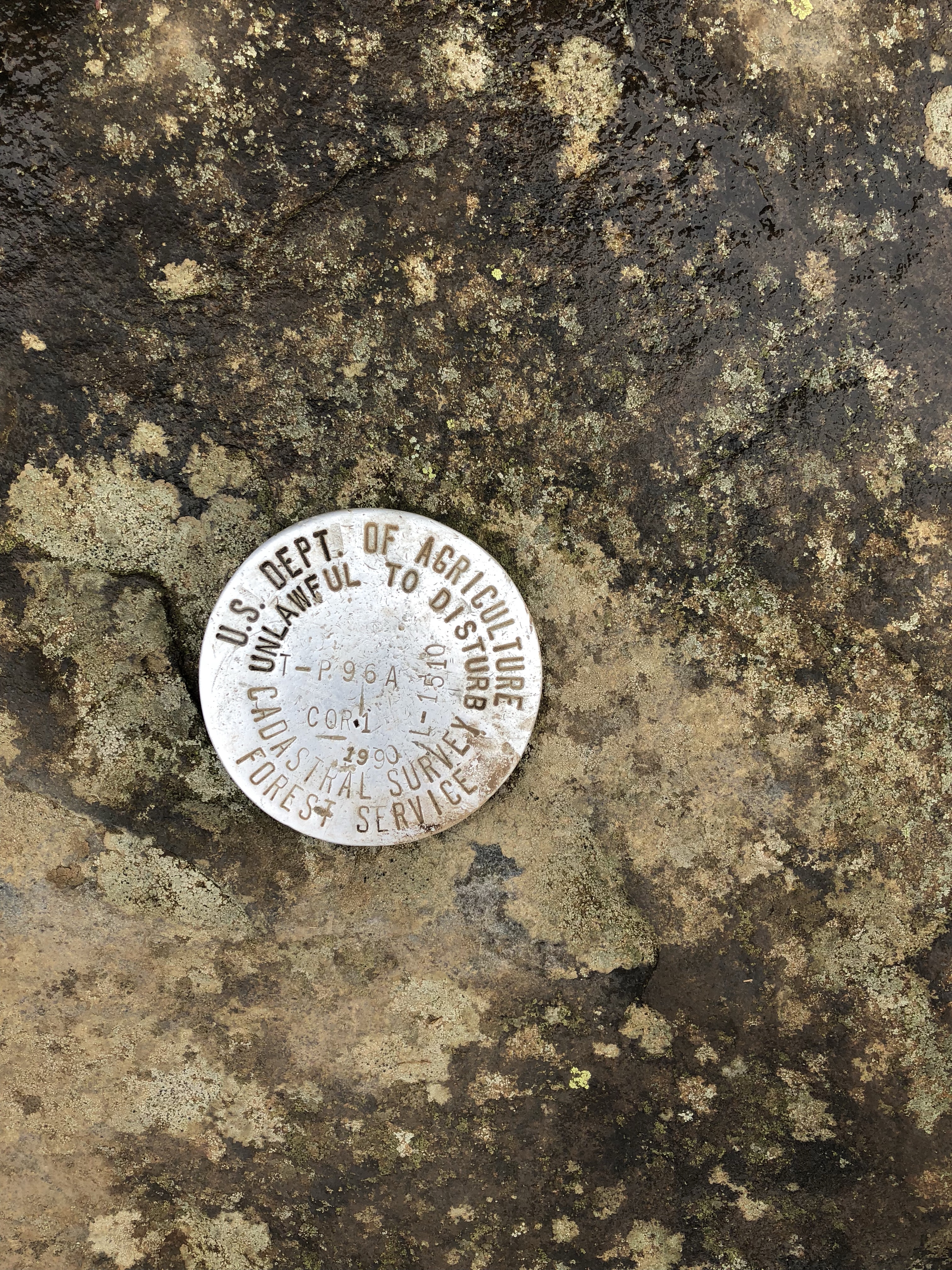
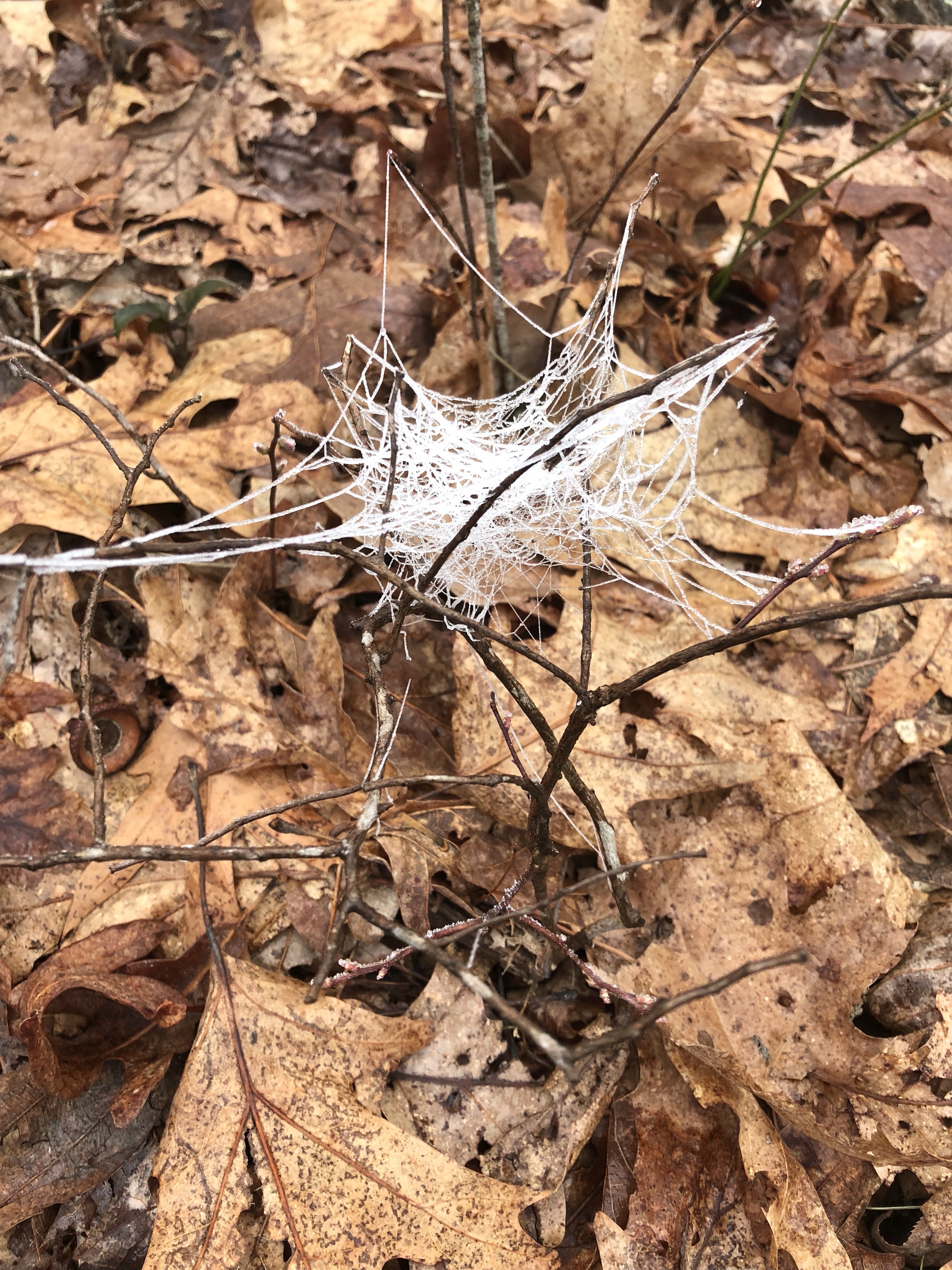
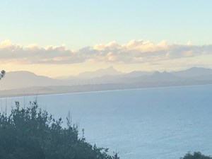
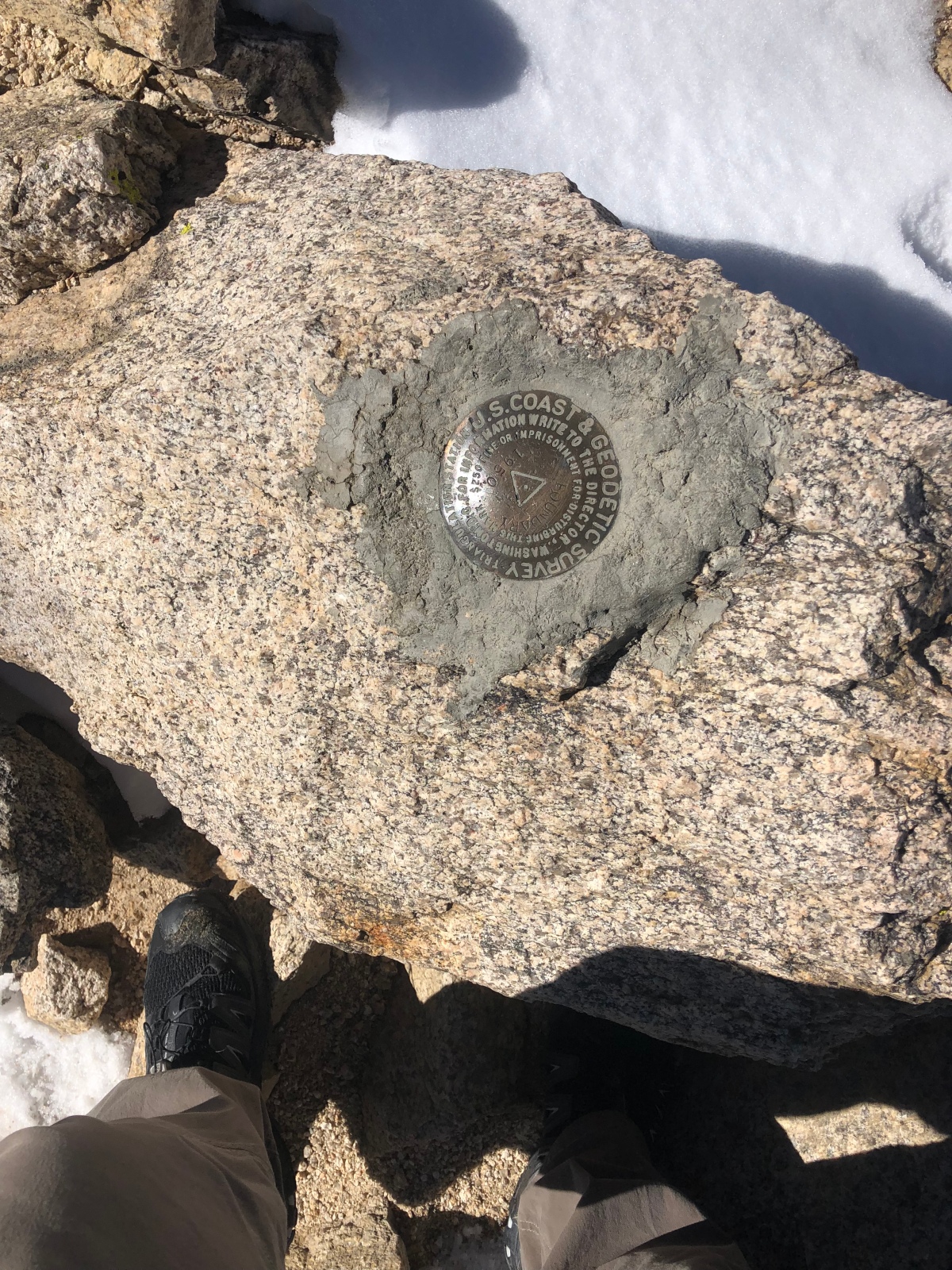
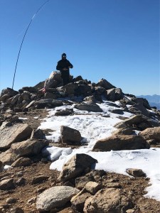
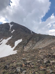
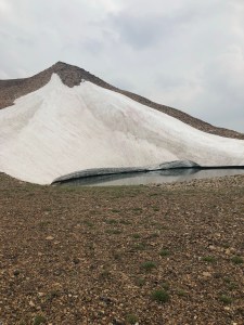
Anyway back to this trip, landed in Knoxville and picked up a 4wd since I’d heard that there was going to maybe be some snow in the area.. Wait, did I hear that right? Snow? it’s April, it’s the Southeast, again, SNOW? Like they always said when I was growing up, do not like the weather, wait 10 minutes. Dropped the son off at my dad’s, picked up a sleeping bag, pad and wool blanket then rolled down to the Blood Mountain trailhead for some sleep. Finally drifted off to sleep around 6am, but woke up at 730 to start the hike up.. snagged some breakfast, downed a liter of water and hit the trail around 800am. The crazy thing about the AT is that you do a LOT of UP climbing, and the folks that built the AT did not believe in doing switchbacks, I bet adding switchbacks to most of the major climbs would add another 500 miles to the AT ;-). Anyway, so UP I climbed, to hit the summit of Blood mountain. It had rained the day before, then got cold overnight and a freezing fog moved in which made from some really cool rime ice on the trees and spider webs. <insert frozen web here> While on the hike up the temps warmed up enough that the rime ice started falling off the trees, and dropping a fresh layer of frost on the ground. The view was not that great today because of the heavy fog in the area, but I found a nice rock platform to sit on only to realize I was sitting on the Blood Mountain marker <insert marker here>
Contacts from this activation: 20m: K6MW, W7RV, N5ZC. 40m: KG3W, W0MNA, W9MRH, KD9JJE, K3TCU.
I was a bit early for the west coast on this peak, and ended up getting more 40 then 20 today. Now that the contacts were slowing down, decided I wanted to snag a second summit, and realized I was very close to Brasstown Bald (NG-001) so opted to book it down the hill and hit that on the drive up to Carvers Gap. FYI, this is a fee area with a good lookout platform up top kind of like Clingmans Dome, but it also has some towers on top that can inject some RFI.. You have the option to take the shuttle up, but this is SOTA, and the hike from the parking lot is ~6/10 of a mile and a couple hundred feet. NOTE: the parking lot is NOT in the AZ, so do not try and activate from there..(not that you should be activating from a motorized vehicle anyway 😉 ).
The bands either dropped out in the 2 hours since I left the summit of Blood, or there really was a good amount of RFI on the peak. Quite a few folks though showed interest in what I was doing though, so I was helping “spread the gospel of Amateur Radio and SOTA”. while playing with various antenna angles and setups. I started on the platform itself since no one was up there, but it did start to get crowded, so I moved across the road to the top of the walking route and setup there on a nice park bench. Not that it helped much. I managed to eek out 4 contacts with 1 being an S2S on 18m while on the peak today but even 2m was a challenge as I was trying to S2S with a guy who was on a peak 20 miles crowfly away. I could barely make this guy on Clingman’s dome as well, (he was not doing SOTA, but was trying to act as a relay). I’ve hit S2S on VHF for Clingman’s from Black Mountain in Kentucky, but yes I know conditions change, and other factors apply..still I was not that far from either the activator I was trying to hit, nor Clingmans dome in the grand scheme of things.
If you happen to be driving by Brasstown Ga, and have your gear by all means go bag this summit.
contacts for Brasstown Bald: S2S: KJ6HOT on 18m we had to work it hard, but ended up getting 2×2 to each other so digging each other out of the QSB. 20m W0MNA, K6HPX, and 40m W9MRH.
So this adds W4G to the association list, and I am finally silver on the Mountain Hunter. (SOTA is not a competition, SOTA is not a competition).
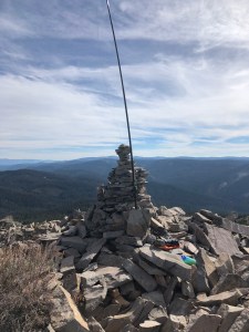
Growing up the section of AT from Carvers Gap to 19E was always one of my favorites, I’d managed a lot of volunteer trail hours and numerous hikes “across the balds”. Hump mountain was always fun because it really is a hump up it when you are schlepping a pack. I guess i’ve always enjoyed hiking UP mountains :D. Anyway I decided early on I wanted to go ahead and snag Roan High Knob and Grassy Ridge as well on this trip to the East coast. Leading up to this trip I’d been talking to KI4SVM hoping to meet up either OTA, or at some TH, and as an awesome turn of fate he joined me for the RHK and GR activations. I love getting out with other folks as it allows me to see how others setup, and maybe how to change my own setup to improve my QSO count per activation. Carvers Gap has always had some of the strangest weather in contrast to the region around it. It can be 70 or 80 down in Knoxville and cold, blowing and snowing up there. This trip was no different. Woke up on Monday morning with an inch of fresh snow. Needless to say, I broke a few of my own rules on preparedness today, but even if I had gotten in a pickle I was not that far from the trailhead, and I knew the area well enough that I am able to navigate it in the clouds pretty well. Lets face it the AT is more of a trough in the ground, definitely well past the “well worn in path” stage at this rate of it’s life, so it’s kind of hard to get lost in the context of being on the AT. So KI4SVM and I headed up to Roan High Knob with the intention that I would take the first hour for my own activation, and then I would book it over to Grassy Ride while Pat worked his own activation and then we would S2S and I would also get the SOTA complete for RHK. The hike up to RHK is about less then an hour or approximately 2 miles (and is not as steep as Blood Mountain) from the trailhead at Carvers Gap, in the summer you can access from the upper parking lot and it’s shorter. KI4SVM setup his antenna setup and it is based upon a setup I’d learned back in EC-001 so this may be one thing I am looking to add to my own kit depending on the weight it adds. He also showed me how to properly work with the HAM log APP to make it efficient for SOTA, so I am looking to use that method in the future when my hands are not too frozen to use the iphone for logging. Had a lot of local contacts directly beneath us on 20, gotta love that LOS etc. I managed more QSO on RHK then the other three summits, I’m beginning to think it’s operator error.
Contacts here where: 80m: N4EX, KW4R, 40m: K4MF, KG3W, KE8CYC, W2SE, W0MNA, W0ERI, K3TCU, and K9ER, and on 20m: K1LIZ, KI4TN, KB1RJD, KB1RJC, and KX0R.
Since we used KI4SVM rig for the setup here, all I needed to do was grab my pack and drop down and over. On a good day, with good weather this should take you about 90 minutes, I kept bumping into thru hikers, so I would chit chat while making progress. It took me just under 2 hours to cover the 4 miles. Spent about 15 minutes talking to one person about SOTA, and why I always carry an HT even when I am backpacking etc.. So we may have a new operator in our midsts some time soon. For not having my normal antenna mast, there was a decent enough area to setup between the rock on the summit and a nearby tree. My EFHW was just long enough to make that span, although I am not sure if it improved my ability to make contacts by much b/c it seemed after an hour EVERYTHING including 2m and my iphone all stopped working right. Maybe the cold, maybe some other atmospheric condition, but something changed for the negative overall.
I would comment about how pretty this hike is, and if you can get a hike up there in June/July when the Gray’s lily is in bloom (please do not pick it) and when you can see more then 10 feet ahead; it really is an awesome hike, but today, like so many times before when I hit this in early season I was shrouded in the clouds and winds so visibility was non-existent. . I’ll be coming back later this year to bag Hump Mountain for sure, so maybe I can get some good images in then, I’ll even do the Carvers gap long approach just for the sake of good views (and maybe images).
As noted above, something changed during the activation, but I did manage enough QSO for a good summit, and as noted the S2S with Pat for a SOTA complete! anyway QSO info: 2m: KI4SVM, KJ4ZFK KI4AAU, WX4ET (i’ve been trying to contact this guy forever!). 20m: K0RS, K6MW, and K5WLT who happened to hear my CQ. and 40m: KG3W. The hike out was more clouds, winds, and chit chatting with the thru hikers.
Just a couple of observations from this and the last couple of East coast trips. Once you get chased by someone that’s normally out of your reach, they tend to try and extend it when you are back in your home activating region. Folks that I made QSO with last year when doing W4K/W4V now chase me when I’m on the W6 and other peaks out west, so that is good! Also have noticed just as a general observation the number of W6, W7W and W7O activators does seem to be increasing, so glad to see that more and more folks in the W regions are getting on the air as well as on the air on summits!!!. Ham Radio is NOT a dying art.
As always images below, thanks for stopping by, 73 and hope to hear you OTA, or hike with you at some point!


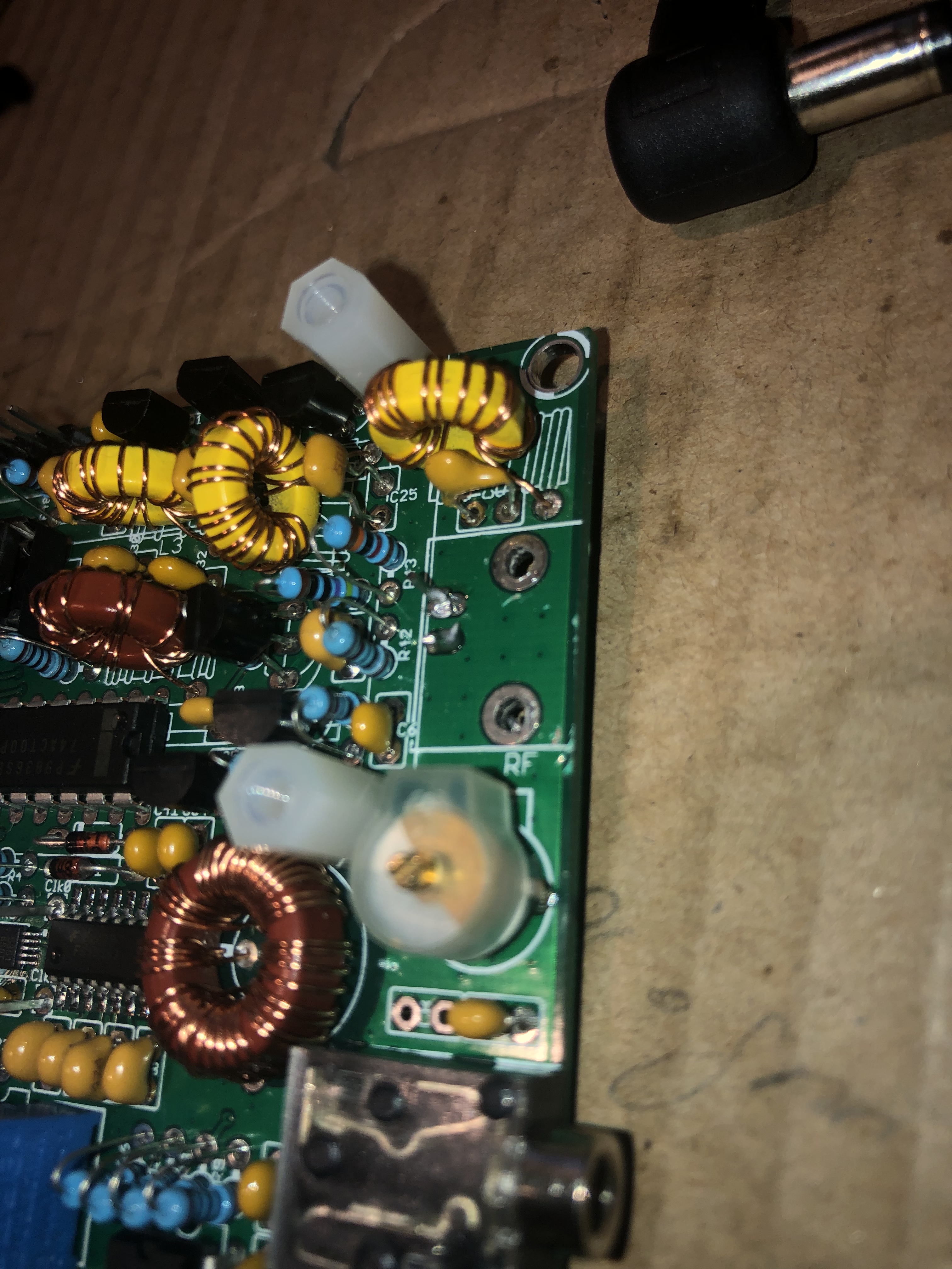 For the sake of giving myself some options down the road I just snipped the leads off the BNC adapter, and then carefully worked the anchor studs out.


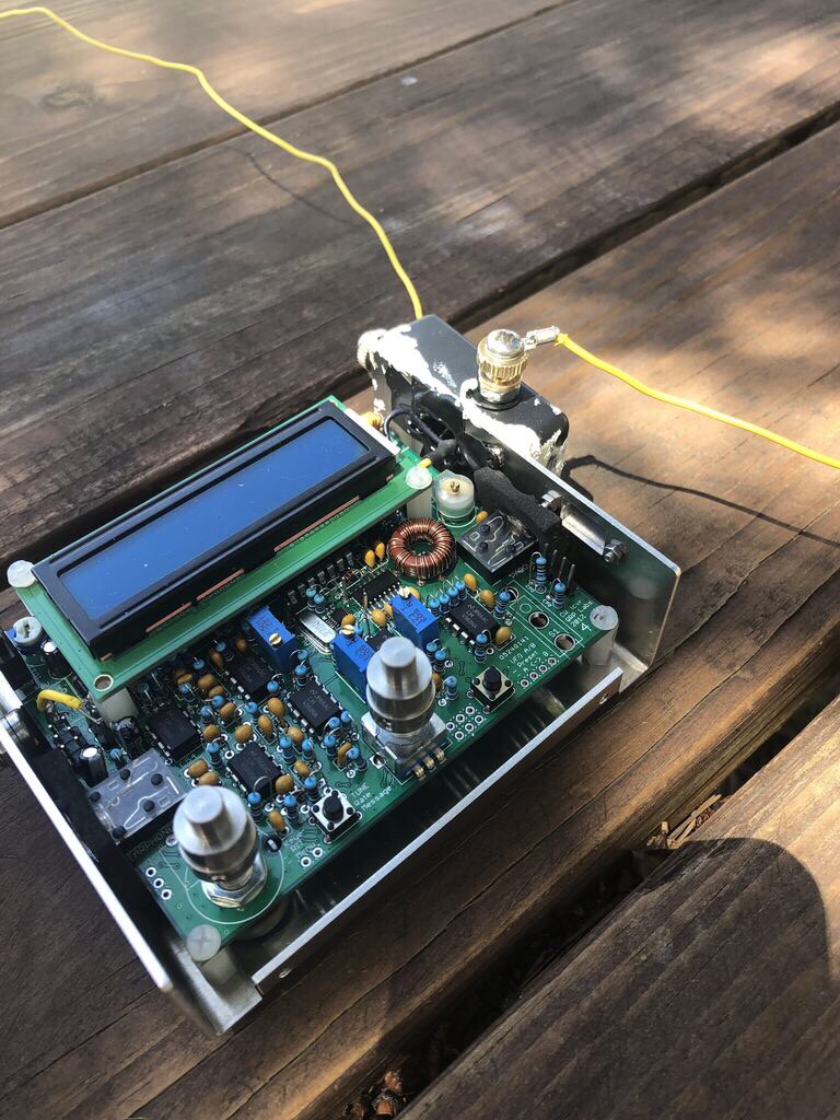


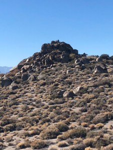
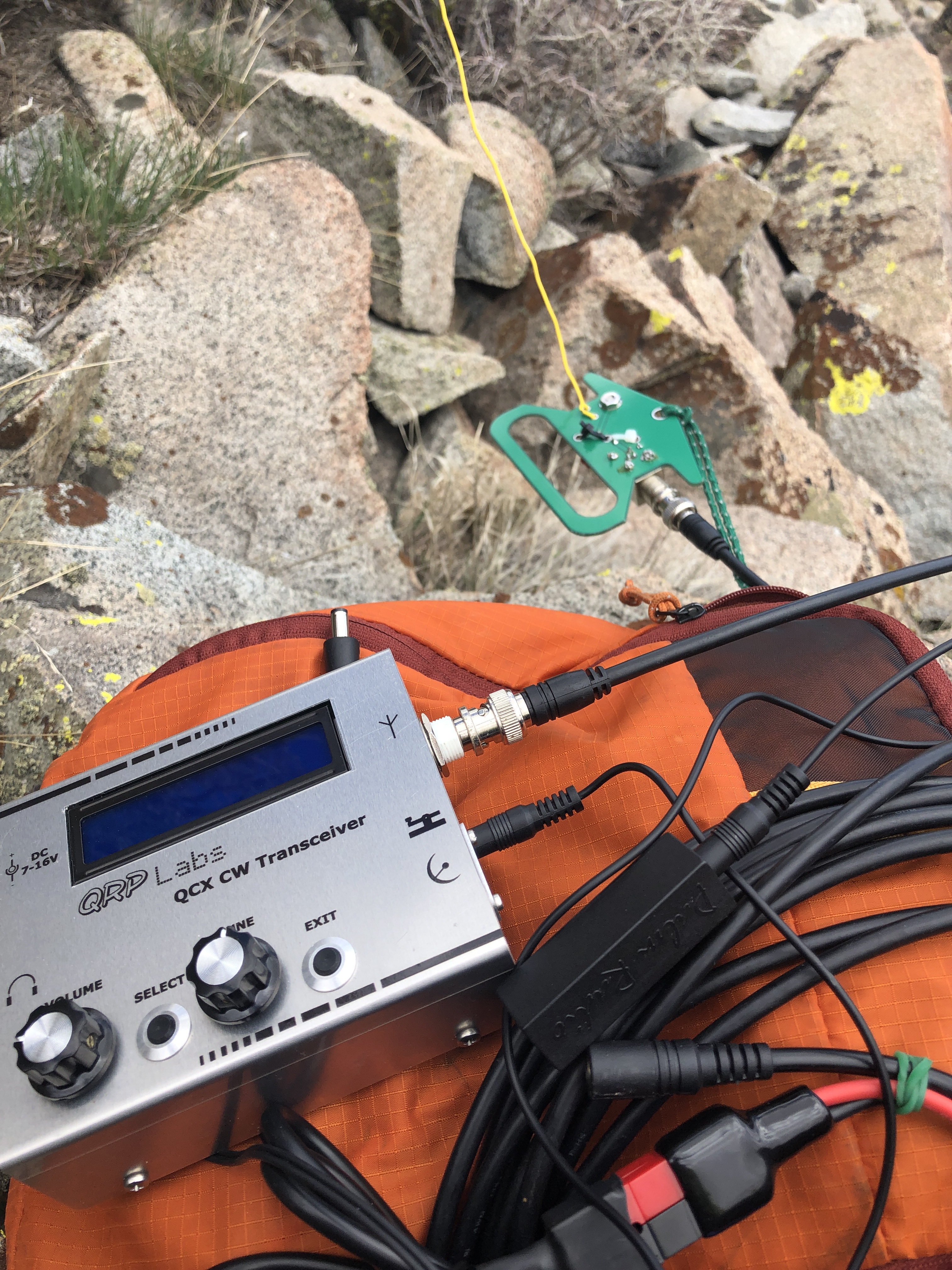 I have chased a few folks with the QCX from the QTH, but now it was finally time to use the QCX as my activation rig. It was on Easter Sunday and on a day that 30m propagation was not great and I was not on summit till noon. SotaWatch showed that I was the first spot in over two hours. I managed seven QSO over 25 minutes and then my battery decided it was time to shut off for recharge (oops..been testing a lot, forgot to check levels). Either way it was a successful activation on a unique summit. Full disclosure it was also the first time I have done an activation without using the decoder, and I managed to get a good copy on all those who called me whom I could hear, so I am getting better there too. Contacts included: AG6VA, K0RS, KR7RK, W7USA, WA9STI, W7GA and K7RJ. According to RBN I was reaching the VE6WZ beacon up in Calgary, approximately 700 miles. Last time I checked, I was putting out 2watts of power, but that was before I really tuned my EFHW. On the approach drive in *4×4 road* I managed to make it to within a mile of the summit, but overall this is a drive up summit. Either way, b/c I am in run training, the 1 mile 400 foot elevation just helps with the training, and I do my best thinking when I’m walking (more on that below). Those structures you see on the summit proper are from past deployments I think, all the radio towers, cell towers, and TV towers have been moved to other nearby peaks, overall (at least on 30m) this was an RF quiet peak.
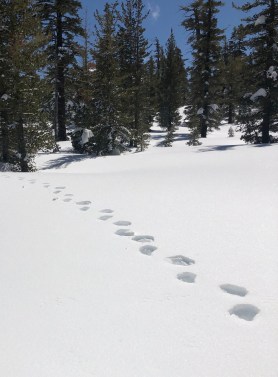 Even in the winter roads and trails still look obvious so navigating was pretty easy. When I reached the top of Tunnel Creek trail/the Saddle I opted to stay along the ridge instead of dropping down to Twin Lakes. So it was spring time, and not sure why I’d not considered this in my planning, but, I was starting to notice more and more bear tracks going between trees.


![SOTA down under! VK[2,4]/N6JFD/P](https://backcountrysaunters.com/wp-content/uploads/2019/02/img_3187.jpg?w=1200)


 That’s right, I’m getting to the stretch to make Mountain Goat. As of Nov 5 I am sitting on 841 points. I’ve already set the date for Mountain Goat on a peak back east.

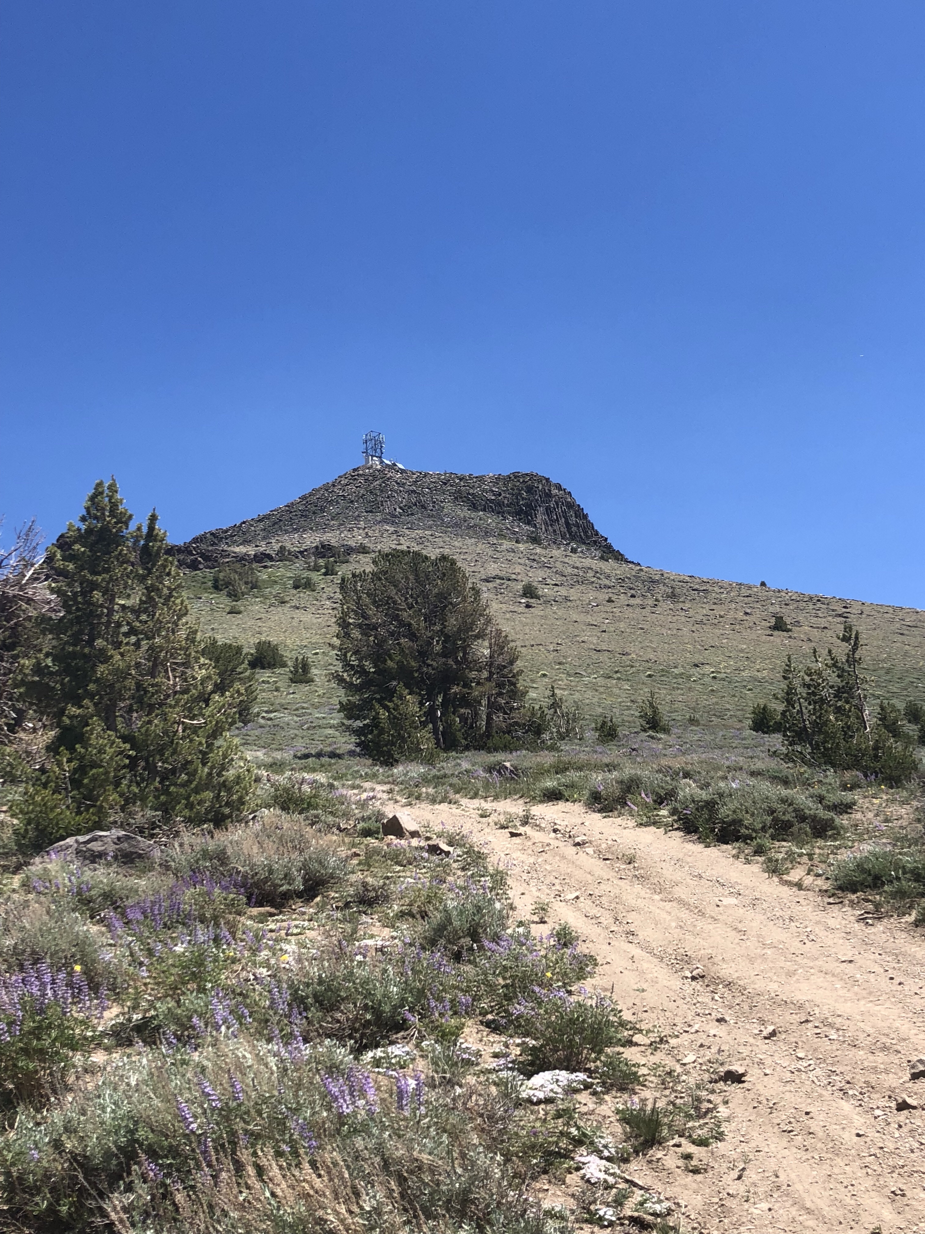 After spending all day on SAR duty Saturday, it was time to do some SOTA on Sunday, but I wanted to be in range of the basin if a SAR did break out. I goto the Burnside area a lot for camping and was thinking that since both peaks are near drive up i would see if I could snag em both in a single day.. Reality was I woke up Sunday morning without that as a plan, and just decided over breakfast to get after it. I had tried to drive up to Hawkins back in May to do a “sleep on top and activate overnight” activation, but the road was still blocked by snow, and the winds picked up with some sort of incoming weather so I had to bail on that idea. Similar with Pickett’s I’d hiked up from the gate at Pickett’s junction to scout the road, and since I had Lola (my pup) with me, I did not want her on that rock as it would tear up her pads etc.. This was a pretty straight forward activation though. Drive out Burnside road grab the road that goes up Hawkins, park past the solar station and walk up the 15 minutes it takes to get to the summit. Another option that is probably faster is before the road loops around on the north side, there is a pull out/sort of road on the right that goes straight up. I am thinking that might save a few minutes on approach. Regardless see my notes below about doing a 2-fer here so you wont even be on this road ;-). About the time I was realizing I left my cell phone in the truck was about the time I was topping out. Oh well, I had my HT with me, APRS ftw yet again! (just no summit pics).
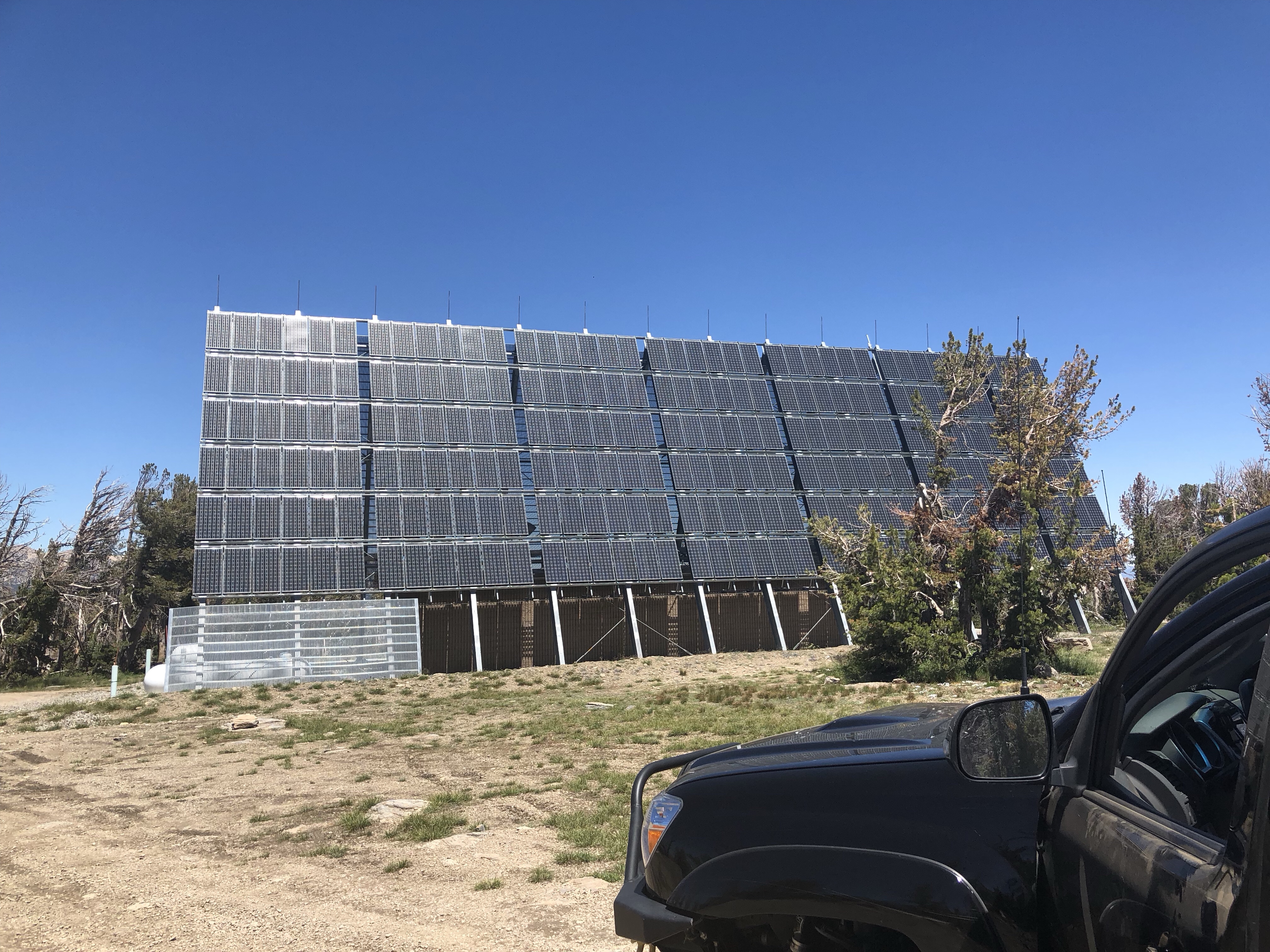
 It took me about an hour to drive around and up to an area that could access Pickett’s peak. I ended up with about a 30 minute bushwhack, so not that bad. It sounded like a SAR was about to break out so I made it to a flat spot in the AZ, and setup and started my activation on 20ssb. The SAR worked itself out, and I opted to relocate onto the summit proper. (this explains the break in QSO times in the chart below). I ended up with 10 contacts between 20 and 17 ssb, and 30 cw. I was not getting any responses on 40 hear either. 17m seemed to give me the longest QSO of the day.
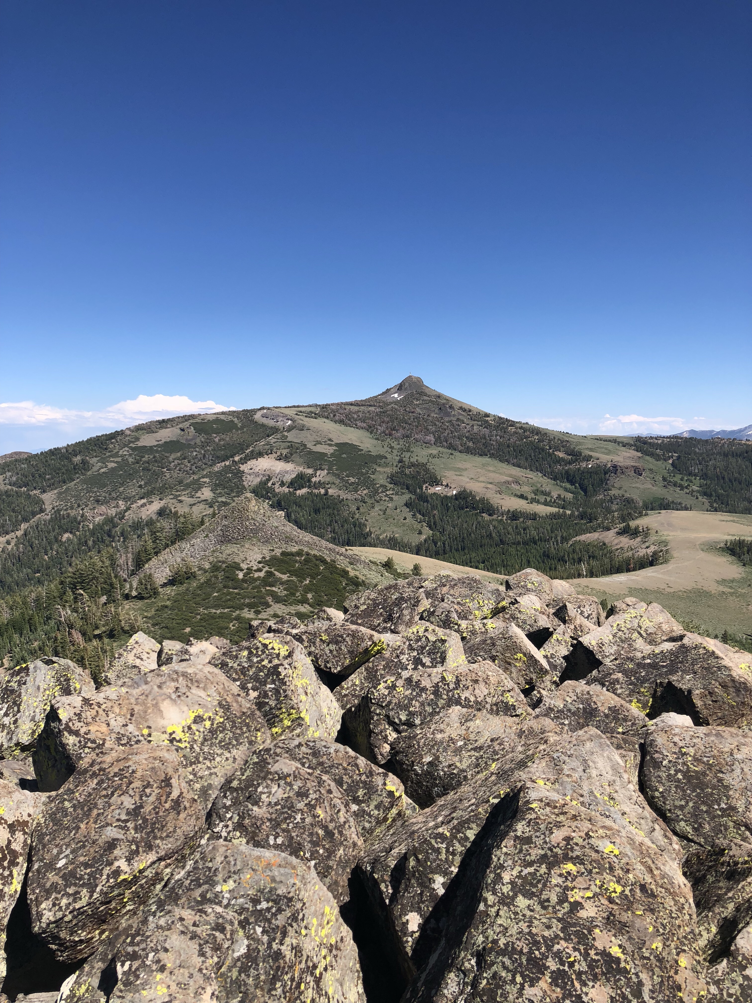
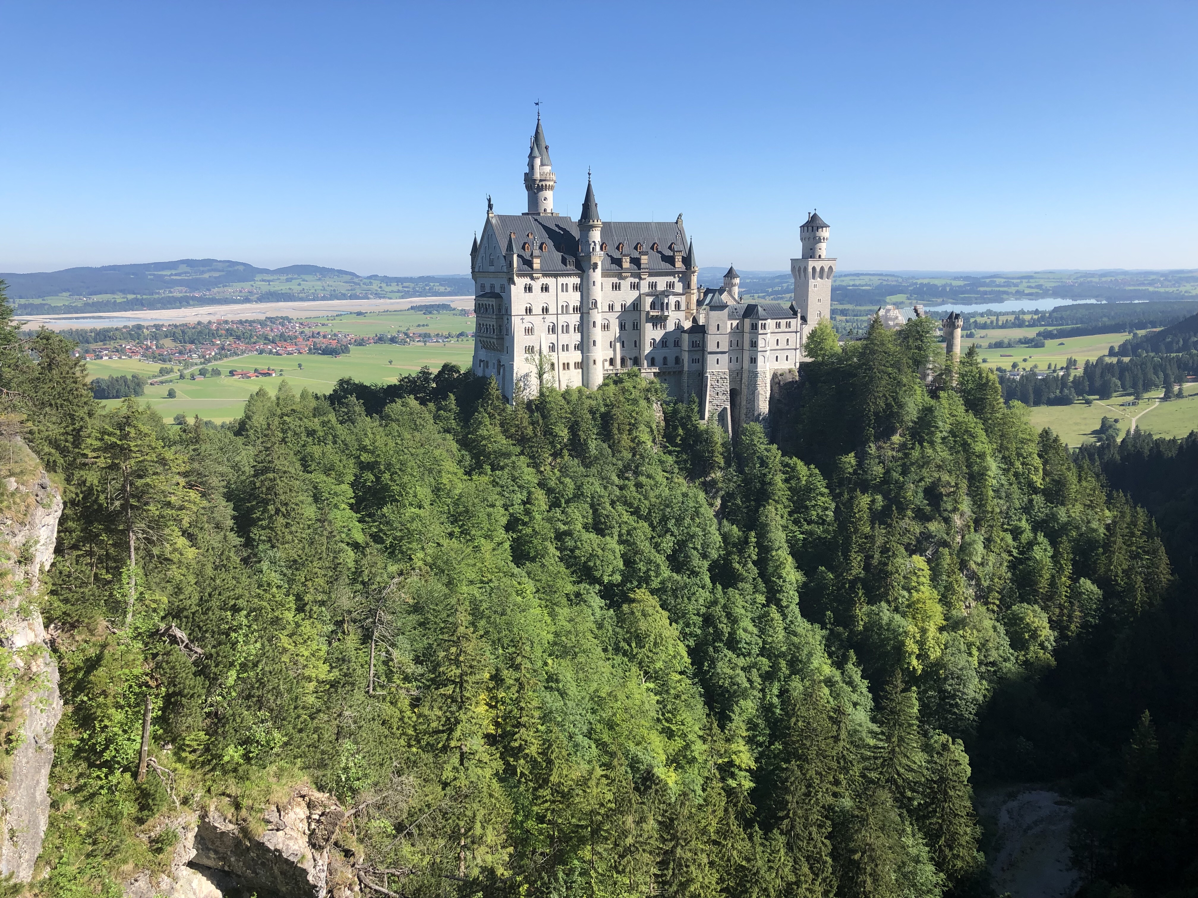 So time for the annual family trip, and this year we decided England and Germany ftw. I was not sure how much SOTA I would get to do, but I took my gear anyway!! After spending a few days in London we took one of those awesome cheap flights on Ryan air to Germany and landed in Memmingen, picked up a rental and away we went. Stop one was going to be Neuschwanstein, and would you not guess but yes there was some SOTA action to be had. There is a trail up by the castle that accesses two different SOTA peaks and that being
  The hike from Neuschwanstein to Branderscrofen is ~5.5 miles of which the first 2.5 miles gains 80% of the elevation. Once we reached the cruising altitude, (I mean flat stretch) up high the hike went pretty quick. There is also a tram you can take to reach an area that is ~25 minutes from the summit, and also has a restaurant, and heli port for hang gliders and paragliders. The summit is a knife edge ridge, and there is not a lot of room for what is a very popular summit. I ended up tossing my vertical for HF off the side and radials deployed as normal. A few folks showed interest in what I was doing and as usual I obliged. I ended up getting three s2s one of of which was a gentlemen who was 15km away in Austria (vhf). In less then an hour I ended up with contacts in the UK, Munich, Sweden, Austria and Poland.
 ish our SAR team could get away with that, we have had calls similar to that in our area. So, with all that in mind, and the fact that Ben Nevis is socked in more days then not I checked the weather and noticed that Scotland was under a high pressure and was going to be the warmest day in some 100+ years etc.