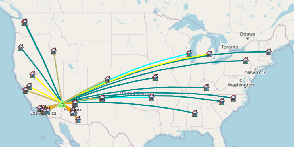
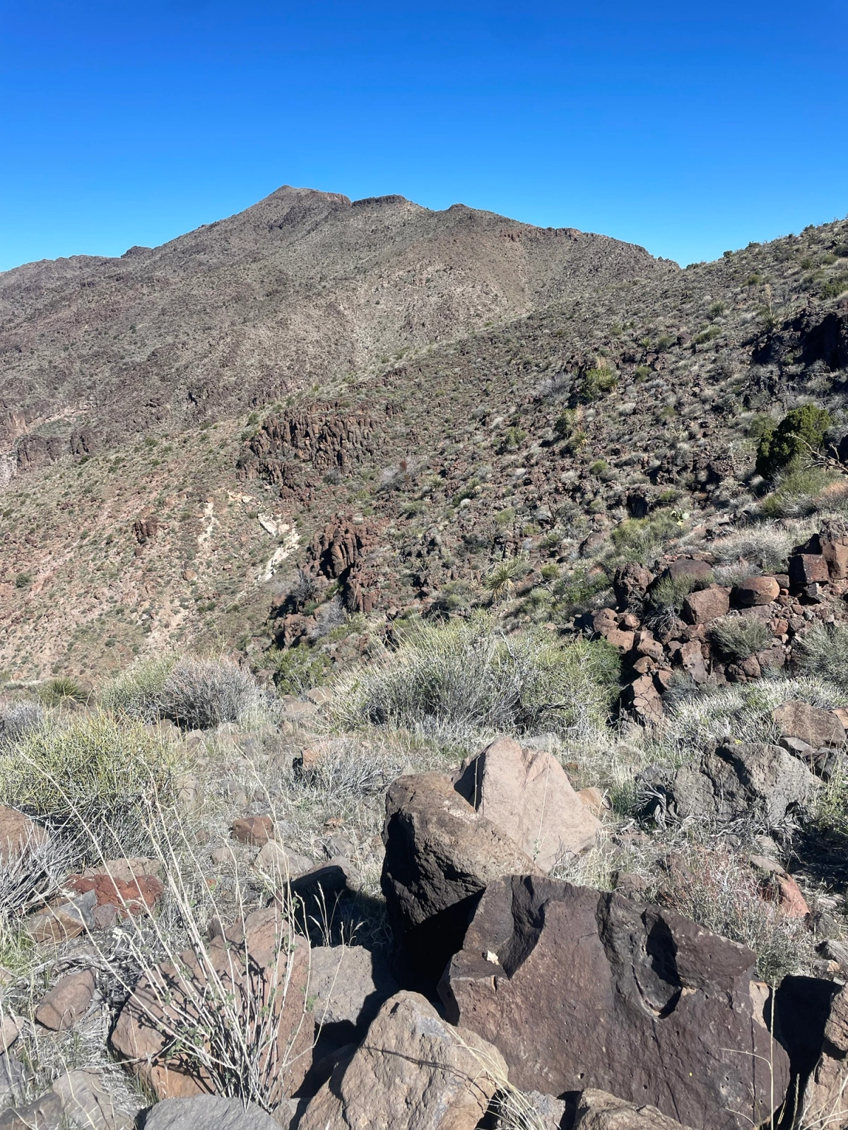
I wanted to take advantage of being in the area, so after scouring over sotl.as, finding a peak that met some of my requirements, studying the (digital) topo map and finding very little info for the approach, I went with a peak that seemed well within my wheelhouse. Plus, it has a cute name to boot, “Nutt Benchmark”. It was also a First Activation peak, so those are always fun (and typically involve the most planning and do tend to give me a little anxiety.
Preflight:
At the Sitgreaves Pass View point is a wonderful (and big) with some flat spots pull out that we ended up using as a post up. That was the one useful tip the couple of trip reports I found contained. So with some daylight left, and me wanting to do a little exploring I managed to climb my way to the top of the nearby ridge line. It turns out that there was a well cairn’d use trail that wandered off in the direction I wanted to head the next day. After walking out about a mile and confirming this approach trail would work, I opted to shift from the route I was going to use to staying up along the ridge line to a specific saddle. From the saddle to the summit is about a mile.
Lets do this:

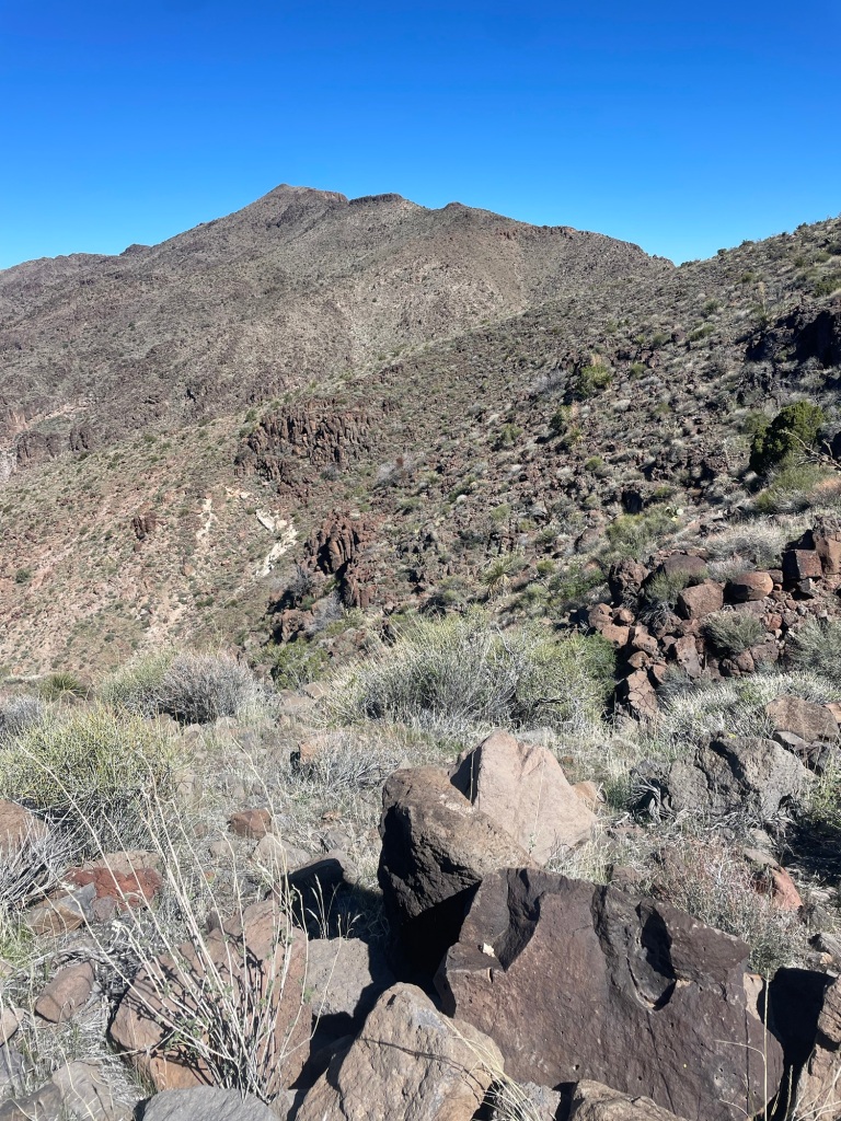
So with that I was off from the pass at around 8:30 in the AM. I would say the ascent from the parking lot to the ridge line, and then a few segments along the final push are kind of the cruxes along the hike. Well, that and the various cactus (some of which were in bloom on this walk). If you have ever been to Oatman down the hill you have probably encountered the very docile and tame donkeys. However out here in the uplands those donkeys are a bit more feral. As soon as I crossed into the hills and they were aware of my presence, they were gone. The walk is in a N by NE direction until a saddle is reached with great views over towards the Hualapai Mountains. From here turn towards Northwest and knock out the last 800 feet of elevation gain in about a mile.
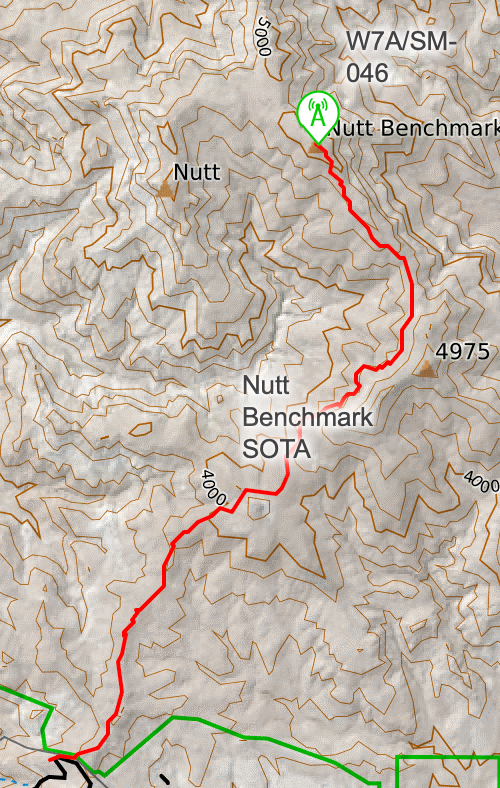
Because the elevation gain is pretty minimal I made pretty good time scooching along the approach ridge. You actually pass right under another SOTA summit (4975, W7A/SM-055) that would make for a fun two-fer. For what I could tell the approach up 4975 would be pretty easy, but it does look steep. I was considering the two-fer and would allow the build up of clouds determine yes or no. Once the saddle is reached the trail (for the most part) is over, there are plenty of braided paths to the summit, however one thing I would advise is to not push for the final ridge until after that last rock wall you encounter. After that though it’s smooth sailing.
Summit and Activation:
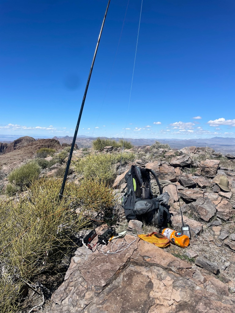
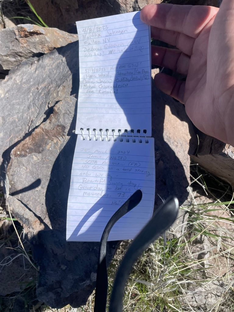
The summit area is a large flat area so plenty of room to spread out and enjoy yourself. Since this is not that popular of a peak (for some reason), it’s not like you have to keep your station setup small. When I say this peak is not that popular, the last person to sign the log that was on the summit was in May of 2023, ten months ago. The log based upon the the business card inside the PB Jar (yah do not use PB jars, those plastic lids deteriorate quick) was placed by the Las Vegas Mountaineering club. No idea if they plan outings or what.
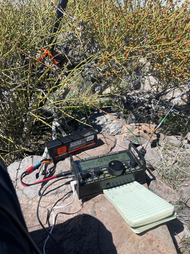
I spent about two hours on the summit on a day following a pretty large solar storm, so the fact that I managed 40 contacts across five bands was pretty impressive. No DX to be had, and as much as that probably had to do with my late start, i am guessing the dead bands also were a part of it. SFI of 195, and K of 4 are not optimal conditions, but as I noted, I made it work.
Time to wrap up:
Part way through the activation I was noticing the same afternoon build up of clouds and virga that we kept getting during the softball tournament, so I opted to stick around a bit longer and keep activating, but would skip the second peak. The walk down was pretty uneventful except that I did step on a chunk of cactus, and it went through the bottom of my shoe (ouch), so that took a few minutes to dig out.. That and for whatever reason I kept losing the trail on the return even after I was on the main path. So pay attention. Overall I would put this as a medium effort peak, I covered a total of 10.25 miles and just shy of 2200 feet of total ascent.
Some final parting shots:


73 de N6JFD/P
